
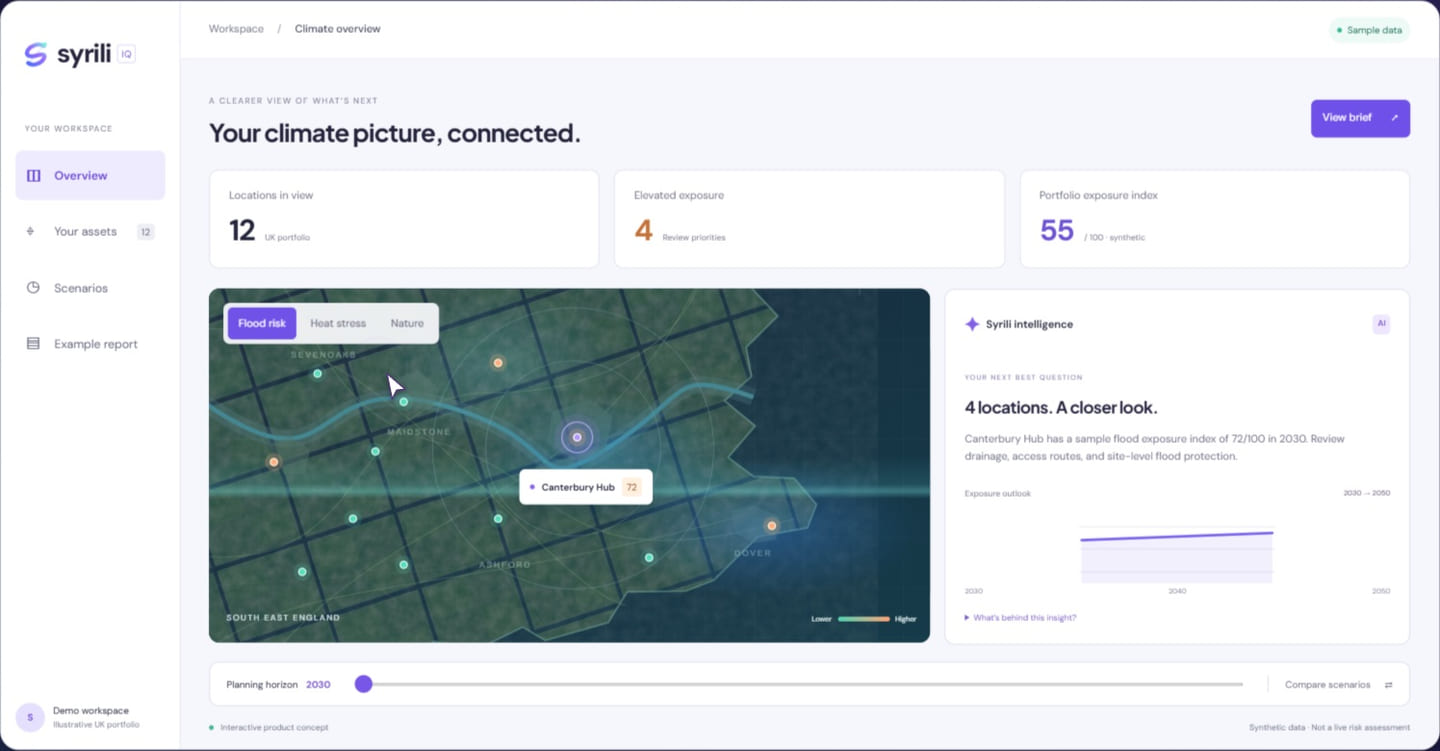
A detailed-looking map is persuasive. Yet the apparent sharpness of an image and the quality of the underlying evidence are not the same thing. Spatial resolution describes one aspect of a dataset, and its suitability depends on the scale of the question being asked.
Understand the support of the measurement
A value may represent an area average, a model grid cell, a sampled point, or a classified pixel. Applying it to a smaller object does not create new information about that object. Resampling can change how a map looks, but it does not necessarily improve the original observation or model’s ability to resolve local conditions.
Watch the boundaries
Coastlines, rivers, urban edges, and small sites can be especially sensitive to scale and alignment. Slight differences in coordinates or grid definitions can change which value is assigned to an asset. Check the coordinate system, the method used to connect locations to data, and the treatment of mixed or missing cells.
Choose fitness for purpose
A broad regional product may be appropriate for an initial portfolio screening and inappropriate for engineering design. The answer is not always to seek the highest available resolution. Consider coverage, validation, consistency, and uncertainty together. State the intended use and the limits of interpretation directly beside the resulting map or metric.
Three things to take away.
- Distinguish visual detail from evidential precision.
- Inspect how locations are matched to data.
- Choose a scale appropriate to the decision.
Further reading
Explore the underlying topics through these reference sources.